Basemap Creation Step-By-Step
- Curb/EOP (edge of pavement)
- Sidewalk
- Driveway
- Poles (street light pole, traffic light pole, hydro pole etc.)
- Fire hydrant (water valve)
- Manhole
- Pedestal/Cabinet
- GLB/Vault
- Fence/tree/bush/garden
- Ditch
- Surface type (Asphalt/Concrete/Interlocked etc.)
Property Line Data:
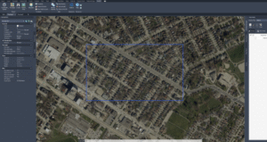
- Use background image to trace parcel data.
Find the city you need to prepare.
For example: City of Toronto GIS map: https://map.toronto.ca/torontomaps/
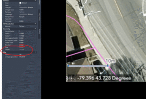
Scale the image based on the scale bar:
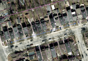
Then you can trace all parcel date:
If you were given Parcel date, you can use command” Align” to align pic to parcel date which is more accurate.
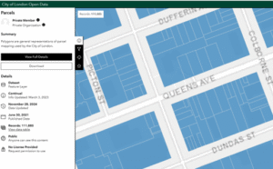
You can search city’s Open data to get the Parcel date you need.
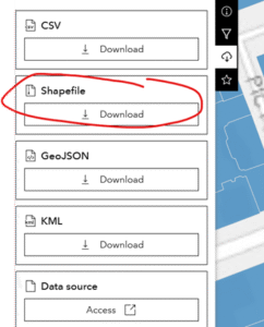
For example: city of London open data. You can download shapefile:
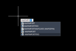
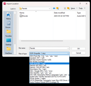
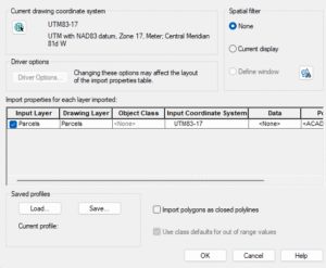
USE “mapimport” command to load all parcel date. (Make sure CAD is set up GIS coordinated, will show you on next chapter)
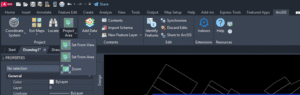
2. Use ArcGIS to load Parcel date
First you need to install ArcGIS to your AutoCAD.
https://apps.autodesk.com/ACD/en/Detail/Index?id=901428130620684547&appLang=en&os=Win64
![]()
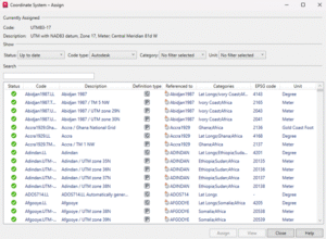
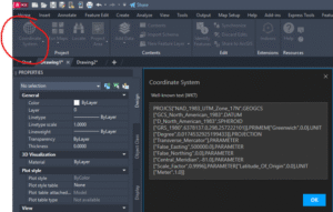
Second, you need to set up coordinate system.
For example, in Ontario, Canada, we use: UTM83-17
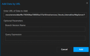
Third, you need to find parcel data URL for your city
For example, Region of Waterloo Area:
https://utility.arcgis.com/usrsvcs/servers/a6acffbc7503436aa730f285ac573a10/rest/services/_Parcels_ExternalUse/MapServer/1
When you know your area, you can set Arcgis from the Area will limit the amount of unnecessary information added.
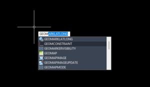
Use the command below in AutoCAD to set up your project area:
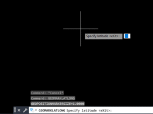
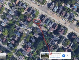
Any point you click on google map, will give you Latitude and Longitude of coordinates.
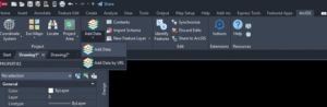
After you know your area, you can Add data by URL:
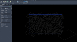
Your area will now pop up:
Do the same thing for Aerial image:
https://gis.regionofwaterloo.ca/waimagery/rest/services/Imagery_2024/ImageServer